 |
| Uluru is just around the corner |
We have always known about Ayres Rock and never thought we would have the opportunity to visit – of course that was before we lived in Australia. Now that dream has come true.
We left Curtin Springs Station and travelled the 80 kms west to Yulara and it didn’t take too long before we got our first long view of Uluru – we definitely knew it was “the rock” as we had already seen Mt Connor! To say it is impressive, even from a distance, is an understatement.
We planned to meet our friends, David and Julia, at Uluru. We had had no internet or mobile coverage for a number of days. As we neared Yulara the mobile messages came through. One was from David – they had encountered car problems requiring towage into Alice Springs and would not be able to meet us at Uluru. We felt desperately sorry for them, and really sad for us. We had planned for some time to experience this very special part of Australia with them and it was really disappointing this wasn’t to be the case.
 |
| Camping at Ayres Rock Resort |
We have stayed at the Ayres Rock Resort which has excellent camping facilities. At this time of the year there is a steady stream of campers but no need to book. A number of bus groups have stayed, there are separate areas for camper trailers, tents and caravans and the park has very good amenities. Some of the powered sites had red sand but fortunately we were allocated one with gravel and a concrete pad. We were beside the BBQ area so had no one behind us and additional space between us and our next neighbour. We really enjoyed our stay. We took a look around the hotel facilities which included the usual shops for a resort, a Post Office, ANZ Bank, cafes, supermarket and information centre. The hotel had a few gift shops where I looked at the art but nothing inspired me.
Uluru is about 20 kms west of Yulara and is a national park with no accommodation facilities. It is necessary to purchase a pass into the park - $25 for up to three days, or $32.50 for an annual pass. We chose to purchase the annual pass – you never know we may choose to return again within the twelve month period so wanted to keep our options open.
We drove into the park and went direct to the rock and stopped at one of the waysides and completed the walk to Mutitjulu Waterhole. This is an easy walk around the base of the rock and there is signage telling the various Aboriginal stories significant to the area. The rock caves and the waterhole were really interesting. From a distance the rock looks reasonably smooth but close up there are lots of variations both in texture and colour. There were lots of people completing the base walk as it was still reasonably early in the day and it was cool. We completed the section of the base walk and then went to look at where the Uluru rock climb is completed. The climb was closed due to high wind at the summit. At this stage the rock can still be climbed in one area although there are many signs requesting that for sacred reasons this not be done. Apparently government has made the decision that the rock will not be open for climbing shortly on a permanent basis (from about twelve months time) and at this stage the climb is often closed – for wind, temperatures above 36 deg, forecast temperatures above 36 deg, Aboriginal cultural reasons e.g. funeral. It appears it is closed more than it is open and was closed the three days we were at Uluru.
I had decided that I wanted to see the climb for myself before making the decision whether to attempt it or not. One look and the decision was made – it was not a walk or climb for me. It will be difficult to tell from the photo but the first section of the climb is about 40 metres and is a sheer climb with no guide ropes or steps. From here there is a guide chain which climbers can use to help them pull themselves up the rock to the top. There is no shelter or similar at the top. Those descending then come down the other side of the guide chain holding on to stop them falling. One young lady from the camp office said she descended the whole way on her bottom. Unfortunately we did not see anyone on the climb as it was closed.
We continued the drive around the base of the rock, which is about 10 kms. We had decided that as the walk was able to be seen easily from the road there was really no challenge in walking it. We made our way to the cultural centre which was interesting to visit but unfortunately no photos were allowed. As explained to us by an Aboriginal shop assistant, the Aboriginal people believe that part of their spirit is taken from them if they or their work are photographed. Again, I enjoyed looking at the art and there were three artists painting outside the centre – no photographs allowed. Apparently the local people live near Uluru but it appears that like all or most Aboriginal communities the area is closed to the public.
We returned to the caravan for the afternoon to avoid the intense heat of the day and returned to the National Park prior to sunset. There is an area for sunset viewing and there would have been around 200 cars there.
The next morning we set the alarm for 5 am (and we weren’t going to work or had an aeroplane to catch!) and went back to the National Park to see the sunrise. We were driving into the sunrise viewing area (about 15 kms from the sunset area) at 5.30 am and the sky was just breaking. Again once we got to the parking area we joined about ten buses and at least 100 cars and people lined the wooden walkways to the shelters. The actual sunrise was beautiful but we were a little disappointed that it didn’t seem to make that much difference to the colour of the rock.
We had taken our breakfast with us and once the buses and most of the cars had left a small group of well organised viewers stood and had their breakfast. It was still quite cool so we took the opportunity to complete another of the walks – this time the Mala Walk. When we reached the viewing area by the waterhole we were the only people there. It was so nice to have the peace and solitude to ourselves.
From here we headed back to the car and drove the 50 kms to the next group of rocks called The Olgas. These can be seen in the distance from Uluru and are very different in shape and are much more dome like. Again it was on with the walking shoes and we walked into Walpa Gorge which took about an hour or so. The path was well made and quite flat in comparison to many of our other walks. When we reached the viewing area there were only a couple of guys there and they soon moved on. Again we had the area to ourselves and it was so nice. There was no water at the gorge viewing area but there was, what appeared to be an underground stream surfacing part way down the walk. This water was flowing quite quickly into a pool area.
From here we went to the Valley of the Winds walk – this walk is over three hours long and although there are a couple of shorter sections it was getting extremely hot and we had already completed two walks so we decided to give this a miss. There are only so many times you can decide to walk to a considerable distance in the heat to look at another rock! We were getting to the point where we were “rocked out”. We headed back to the caravan for a break.
During the evening we had a short and sharp electrical storm with lightning and thunder and a little rain. We were hoping that it would rain heavily as we have been told the rock is amazing with water streaming down the sides, but it didn’t happen so we missed out on that. Perhaps if we return sometime in the future we may see it then.
We really enjoyed our visit to Urulu and The Olgas – it is certainly something you must see if at all possible.
 |
| Sunset over the Olgas |
 |
| The sky at sunset towards The Olgas |
 |
| The actual climb of the rock is closed today |
 |
| The size of the rock |
 |
| Walking around the base |
 |
| The various rock formations |
 |
| No photos please |
 |
| The various walls of Uluru up close |
 |
| Info on the paintings |
 |
| Paintings |
 |
| Info on family cave area |
 |
| Peter in the family cave area |
 |
| The amazing walls of Uluru |
 |
| Info on waterhole |
 |
Mutitjulu waterhole at Uluru with staining on rock
(no water flowing) |
 |
| The sheerness of the rock |
 |
| What a climb! |
 |
| Time for a rest as we walked the base |
 |
| The signage asking you not to climb the rock |
 |
The first part of the rock climb has no chain but is
incredibly steep - doesn't look like it here |
 |
| The eastern side of the rock |
 |
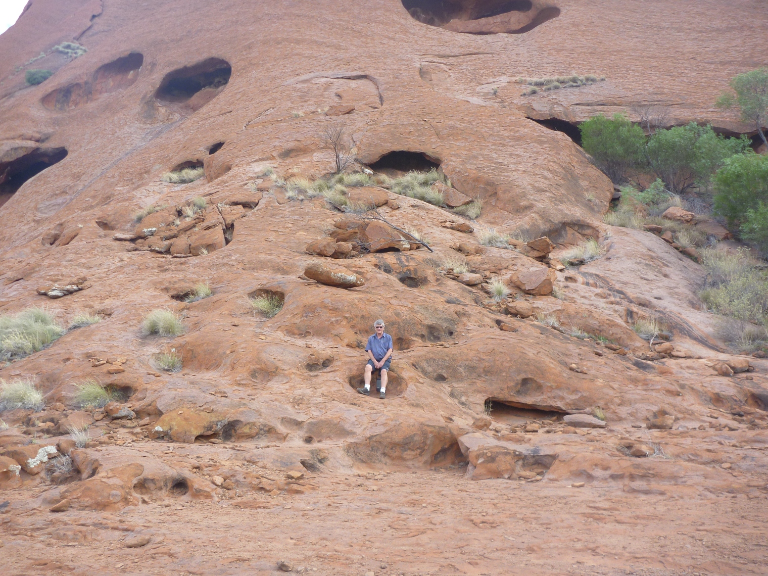
| Peter thought this looked like a hotel for wildlife! |
 |
| Waiting on sunset |
 |
| Sunset |
 |
| And the next morning up at 5am to see the sunrise |
 |
And just to prove that we didn't bbuy the photo's here is Gill
at sunrise |
 |
| Wildlife of the desert |
 |
| Mala Walk, Uluru |
 |
| Aboriginal legend |
 |
| Cave entrance on Mala Walk |
 |
| Story of the Teaching Cave |
 |
| Paintings inside the teaching cave |
 |
| The Mens Cave |
 |
| The Mens Cave |
 |
| Story of the kitchen cave |
 |
| Inside the Kitchen Cave |
 |
| The old people's cave |
 |
| The roof of the old people's cave - note it is black |
 |
| Kapi (water) is for life |
 |
| The Mala waterhole |
 |
| Mala Waterhole |
 |
| The Olgas |
 |
| Dry desert landscape |
 |
| The honey tree used by locals to make a sweet drink |
 |
| The Walpa Gorge walk |
 |
| Walpa Gorge walk |
 |
| The lookout at Walpa Gorge - one side in sun and one in shadow |
 |
| The waterhole Walpa Gorge |
 |
| Flowers in the desert at Walpa Gorge |
 |
| The outback beyond |
 |
| Shall we head to Western Australia - no! |
 |
The commencement of the 1300 kms of
dirt road to Western Australia |
 |
| The BBQ area beside our site at Ayers Rock Resort |
 |
| Large group communal facilities at Ayers Rock Resort |
 |
| Red sand hills as we leave Uluru |
 |
Radio receptor which doesn't seem to do anything for reception!
The Government could save millions in getting bothe better cell
coverage and internet by just bunging an aerial for same on each
of these - gee they are so thick at times! |
 |
| Red sand hills |
 |
| Then arid desert landscape |
 |
| Kulgera near NT-SA border |
 |
| The only camel we saw! |
 |
| The popular Kulgera Pub |
 |
2364 Kulgera Pub and Roadhouse (Understand that there is
a great Trition recovery service that operates from here!) |
 |
| Close to the NT-SA border |
 |
| Good bye to the Northern Territory and welcome to South Australia |


No comments:
Post a Comment